
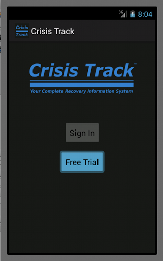
Features Crisis Track™
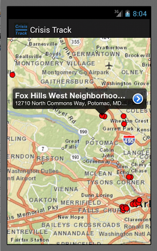
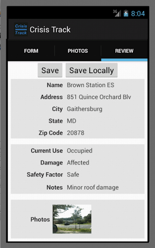
Crisis Track™ helps a community conduct damage assessments and process FEMA grant applications by integrating disaster management into an organization’s typical disaster workflows - clearing roads, inspecting buildings, maintaining parks, and mapping the community.
The consolidation of these activities provides the emergency manager with a community-wide view of disaster management operations.
Crisis Track Features include:Preliminary Damage Assessment - consistently conduct a preliminary damage assessment with little or no team training.Road Closures - capture debris and damage information due to closures on roadways and bridges.Force Labor and Equipment Cost Tracking - accumulate disaster costs into the FEMA Preliminary Damage Assessment forms based on preloaded rates.Emergency Management Task Tracking - track typical and atypical emergency management tasks to help you keep appraised of their status.Executive View – provide your leadership with real-time updates on disaster operations, current damage assessments, and FEMA declaration thresholds.Dynamic Forms – update the in-field mobile apps upon request should your information needs change.Flexible Licensing – provide unlimited access to your departments and partner organizations.The Crisis Track system will enhance your emergency management operations for a faster, more efficient, more collaborative disaster management process.
Productivity Tools
Boost your productivity with powerful tools and features.
Food & Dining
Discover recipes and order food from your favorite restaurants.
News & Updates
Stay informed with the latest news and updates.
See the Crisis Track™ in Action
Get the App Today
Available for Android 8.0 and above